 W01.jpg |
 W02.jpg |
 W03.jpg |
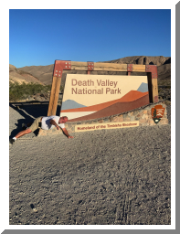
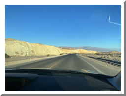
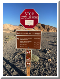
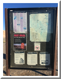
| So here we are 6:30 a.m. entering Death Valley... Is it me or is already hot??? | Very sparse vegetation... later there was NONE... it is dry out here! | Wow... don't hike after 10 a.m. or you will die! Now that's a warning sign!! |
 W04.jpg |
 W05.jpg |
 W06.jpg |
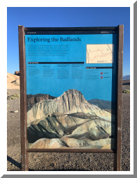
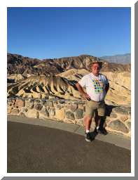
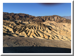
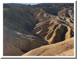
| Cool land formations here | Heat Kills! | At the Earthcache "Death Valley, The Badlands at Zabriskie Point" |
 W07.jpg |
 W08.jpg |
 W09.jpg |
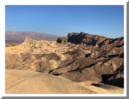
| A pano of the area | ||
 W10.jpg |
 W11.jpg |
 W12.jpg |
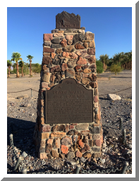
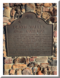
| A marker saying the 49's came though here to California | I acually wonder how they made it!! | |
 W13.png |
 W14.jpg |
 W15.jpg |
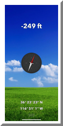
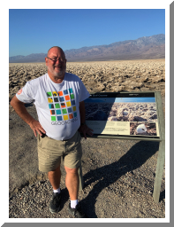
| Took this snapshot of my phone screen program showing the altitude of our lcoation! Yes, that is MINUS 249 feet below sea level! | The Devils Golfcourse Earthcache | Pano |
 W16.jpg |
 W17.jpg |
 W18.jpg |
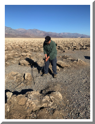
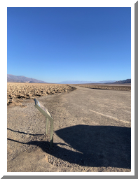
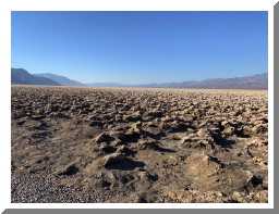
| Grampa Bob 14 playing out of the rough on the Devils Golfcourse | Looking north | Looking south - flat and dry both ways! |
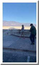 W19.mov |
 W20.jpg |
 W21.jpg |
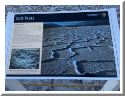
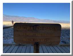
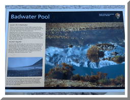
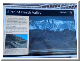
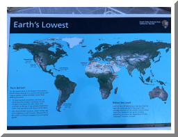
| Cool movie - at the end is the sign SEA LEVEL wayyyy up the mountain!! | Lots of information boards | |
 W22.jpg |
 W23.jpg |
 W24.jpg |
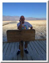
| Taken for the Virtual "Don't Drink the Water" | ||
 W25.jpg |
 W26.jpg |
 W27.jpg |
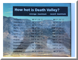
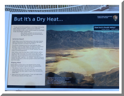
| Check out those temps! | ||
 W28.jpg |
 W29.jpg |
 W30.jpg |
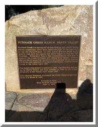
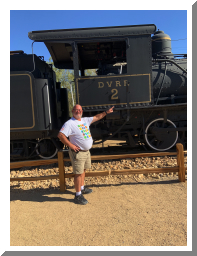
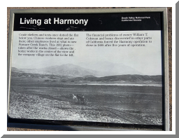
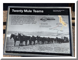
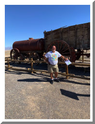
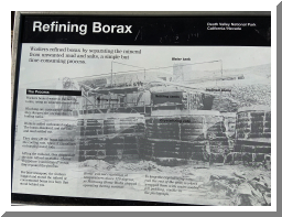
| Furnace Creek is an oasis in the middle of Death Valley with a virtual in it. Still hot! Has a hotel and museum too. | Virtual "Lego Dan's Death Valley RR cache" | They mined Borax out of Death Valley... don't know how anyone can LIVE here but they did and WORKED long days in this heat! |
 W31.jpg |
 W32.jpg |
 W33.jpg |
| Earthcache "Death Valley" | ||
 W34.jpg |
 W35.jpg |
 W36.jpg |
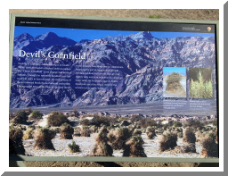
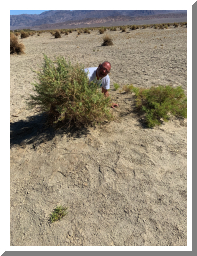
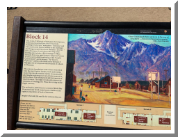
| Some sturdy shrubs with incredible root systems | Hiding behind a "Devil's Cornfield" (Earthcache) | Manzanar - one of the Japanese internment camps during WWII. Wow... it was giant and made me look it up and learn more about them afterwards! |