 mts.geo01.jpg |
 mts.geo02.jpg |
 mts.geo03.jpg |
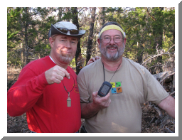
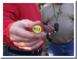
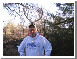
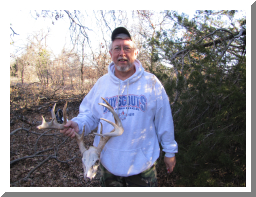
| Dave and I finding a cache on X marks the spot | Each cache had a number on the bottom of it and when you got all 15 you had the cordinates to the bonus cache. | Found a neat pair of deer horns (and skull) .... Lord Keith of the Deers presiding.... |
 mts.geo04.jpg |
 mts.geo05.jpg |
 mts.geo06.jpg |
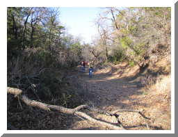
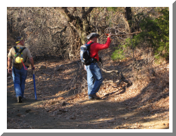
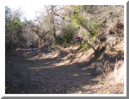
| Acutally pretty neat but we left it there for others to find. | sometimes the best way to travel was by stream rather than cross country across forest and briars! | each went a their own way trying to find the best way out sometimes... |
 mts.geo07.jpg |
 mts.geo08.jpg |
 mts.geo09.jpg |
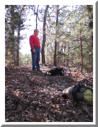
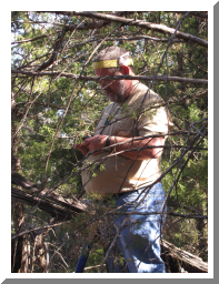
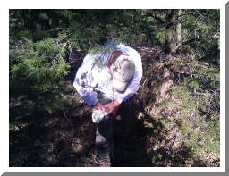
| As it was...just a little further was an animal trail leading out.... Dave found briar! HA!! | When we got to GZ (Ground Zero) we would each drop our pack at that point and start our search from that area. | Of course...in the middle of the woods...lost... sigh... |
 mts.geo10.jpg |
 mts.geo11.jpg |
 mts.geo12.jpg |
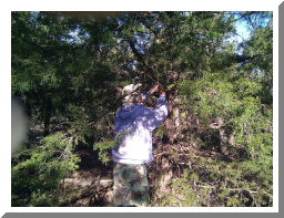
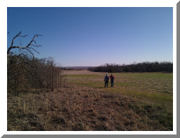
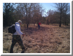
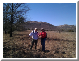
| Keith putting ink to the logs | and putting it back for another to find. | Lots of varied terrian... thick woods and giant fields |
 mts.geo13.jpg |
 mts.geo14.jpg |
 mts.geo15.jpg |
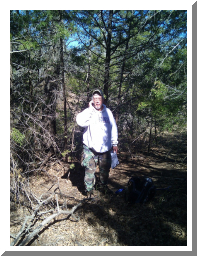
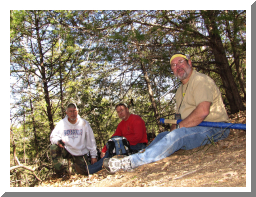
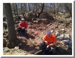
| Keith taking a call in the middle of nature... phone call that is... | Lunch after finding a booger of a cache... | Back out for more! |
 mts.geo16.jpg |
 mts.geo17.jpg |
 mts.geo18.jpg |
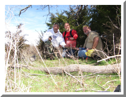
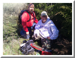
| Keith and Dave | The BONUS cache... course it was a mile away from where we started... sigh... | The goods (or swag) inside the cache |
 mts.geo19.jpg |
 mts.geo20.jpg |
 mts.geo21.jpg |
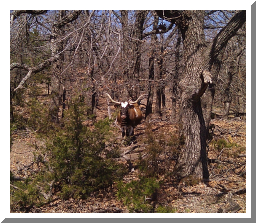
| It was a LOOOONNNNGGG way back to the car... this just after we crossed back into the mountains side... we were pretty pooped out! | Our entrance and exit to the cache area.... too fat to climb a 12 foot fence...I'll just belly under the stream bed crossing. | Hello Mr. Longhorn! We started at 7 a.m. and finished at 4:10 p.m. |